


Lander provides a complete suite of tools to help you document your land, record precise GPS locations, upload supporting documents, and share records securely with family members — all from your smartphone.

Drop a precise GPS pin on the exact location of your land using your phone's built-in GPS. Navigate back to your plot years later with a single tap — no guessing, no confusion.

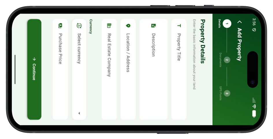
Securely upload and store all your land documents — survey plans, deed of assignment, purchase receipts, certificates of occupancy, and government allocation letters — in a single safe vault.
Attach multiple photos to each property — including the surroundings, landmarks, and boundary markers. Build a growing visual history of your land that can be used as evidence when needed.
Share your property records with family members and trusted individuals so everyone knows exactly where the land is. Shared members can view records without editing or deleting anything.
Track the full history of each property — from purchase date and price to every document added and every update made. A complete audit trail keeps your records transparent and reliable.
Export all your property records, GPS data, and documents as a PDF at any time. Keep offline backups of everything so your records survive even when you're switching devices.

Designed with African land ownership challenges in mind — rural plots, informal purchases, and undocumented transactions are all handled with care.

Your records are in the cloud. Access them on any device, any time. No hardware required — just your smartphone and an internet connection.

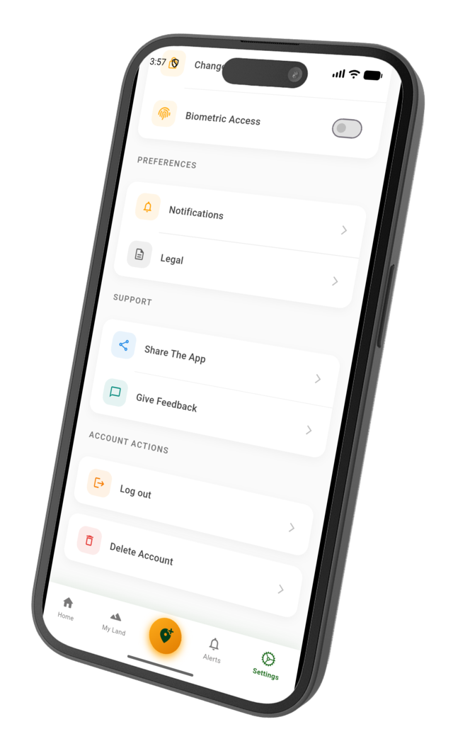
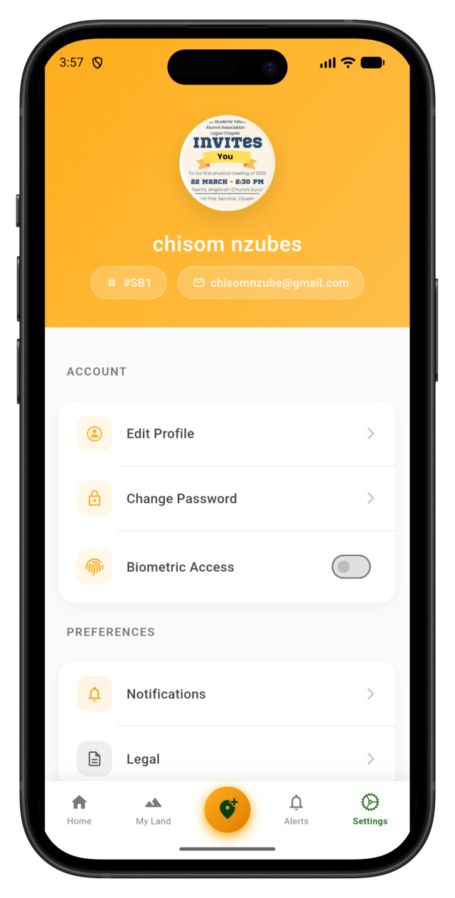
All data is encrypted at rest and in transit. Your property records are private by default — you control what gets shared and with whom.
Download the Lander app on your Android or iOS device and start documenting your land properties today. Available for free on the App Store and Google Play.